Learn the World's Leading Mapping and Spatial Analytics Software Used by Urban Planners, Environmental Scientists, and Data Analysts.
Course Duration
30 Hours
Modules
12
Corporate Days
5 Days
4.9
Google · Trustpilot
What is ArcGIS?
ArcGIS is the primary platform for location-based decision making across government, utilities, and commercial sectors. From urban planning to environmental monitoring, spatial intelligence is a critical modern skill. With ArcGIS skills, you can:
Create high-quality 2D and 3D maps
Perform advanced spatial data analysis
Manage large-scale geographic databases
Deploy field data collection applications
Develop spatial insights for business and science
Open Doors to Exciting Roles:

Use location-based analysis to discover patterns, model scenarios, and make data-driven predictions.
Who this course is for
Design smarter cities using spatial data for zoning, transit, and land use.
Track changes in ecosystems, climate, and natural resources over time.
Build and maintain the authoritative systems of record for spatial data.
Collect accurate location data and sync it directly to the office.
Apply location intelligence to business trends and demographic studies.
Manage public infrastructure, utilities, and emergency response maps.
Career Opportunities
Open doors to roles that infrastructure, design and BIM employers are actively hiring for.
Google reviews
1000+ Google reviews
Ahmed K.
2 weeks ago
Excellent ArcGIS training. The trainer explained every command with real project drawings. I got a draftsman job within a month.
Priya S.
1 month ago
Very supportive staff and flexible timings. The hands-on practice made it easy to learn even as a complete beginner.
Mohammed R.
3 months ago
Best CAD institute in the UAE. Well-structured course, friendly trainers and a recognised certificate. Highly recommended.
Why CADD International
Small batches, real project files and an instructor who reviews your work — not just a video library.
Book a free counselling callLearn ArcGIS workflows from professionals who have delivered real projects.
Every module ends with a practical exercise reviewed by your instructor.
Weekday, evening and weekend batches — in our Dubai classroom or live online.
CADD International course-completion certificate [add accreditation details].
Portfolio guidance and interview preparation for ArcGIS roles.
FREQUENTLY ASKED QUESTIONS
Can’t find your answer? Speak to a course advisor — it takes two minutes.
Ask us on WhatsAppThis course is designed for geography students, urban planners, environmentalists, and IT professionals who want to master GIS for mapping and spatial analysis.
We train on the latest versions of ArcGIS Pro and ArcGIS Online to ensure you are ready for modern industry workflows.
The course duration is 30 hours. We offer flexible batch timings, including weekday morning/evening and weekend sessions.
Yes, we provide both in-person training at our Dubai centers and instructor-led online sessions for remote learners.
You will be able to create professional maps, manage geodatabases, perform spatial analysis, and deploy field data collection apps.
Yes, you will receive a CADD International course-completion certificate that can be attested by KHDA in Dubai.
During the course, you will have access to our lab facilities. We will also guide you on how to access Esri's educational resources.
You can enroll by contacting our academic counselors through the enquiry form or visiting one of our centers for a free demo session.
Start Your ArcGIS Journey Today
Free career consultation, free demo session, and flexible timings available. Speak with our Academic Counselor today.
Trusted by leading companies across the region for corporate training.

















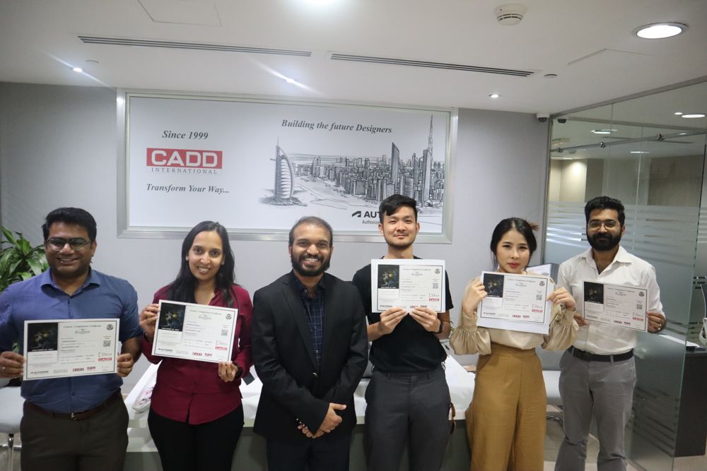 Corporate Training · Batch 218
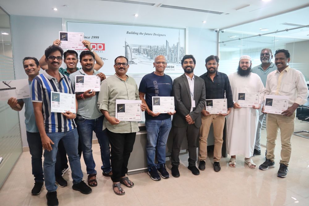 Corporate Training · Batch 143
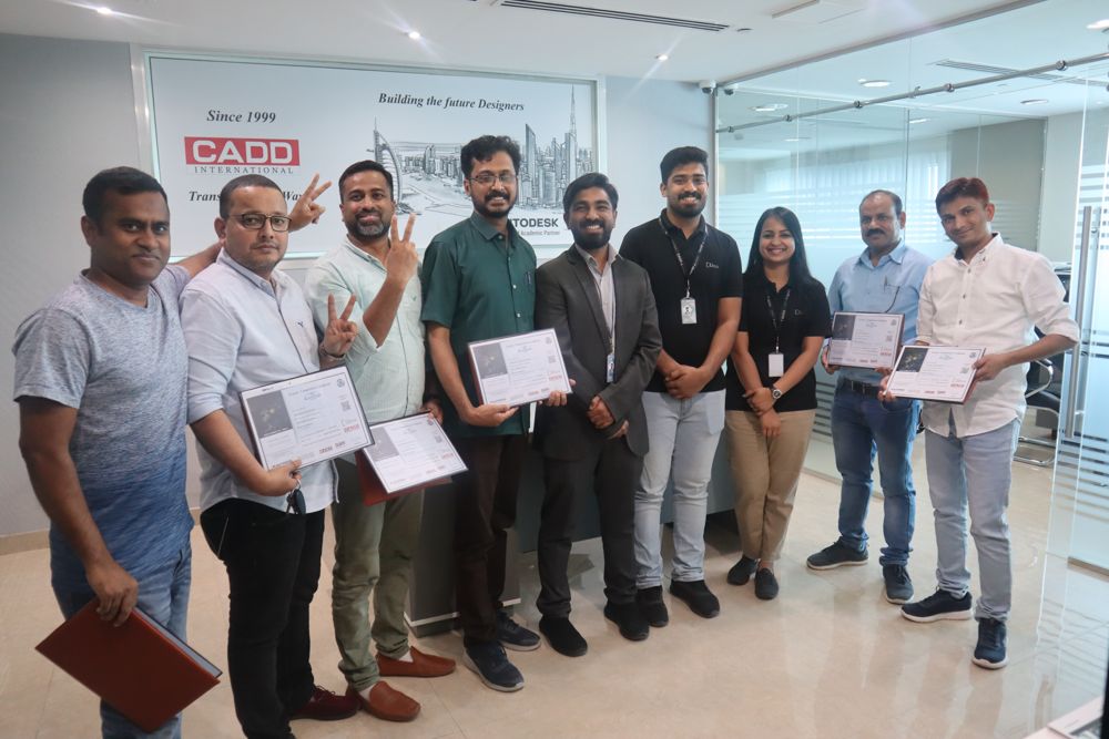 Corporate Training · Batch 267
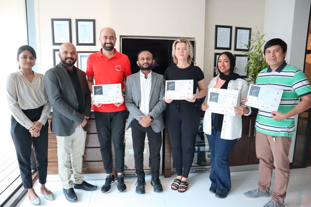 Corporate Training · Batch 189
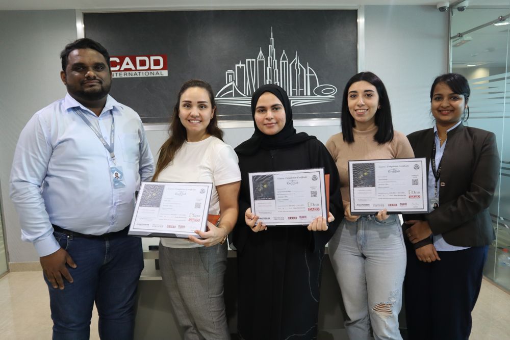 Corporate Training · Batch 234
 Corporate Training · Batch 112
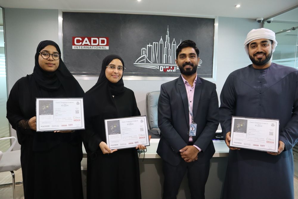 Corporate Training · Batch 291
 Corporate Training · Batch 156
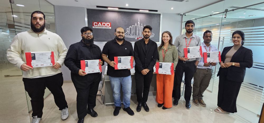 Corporate Training · Batch 205
 Corporate Training · Batch 178